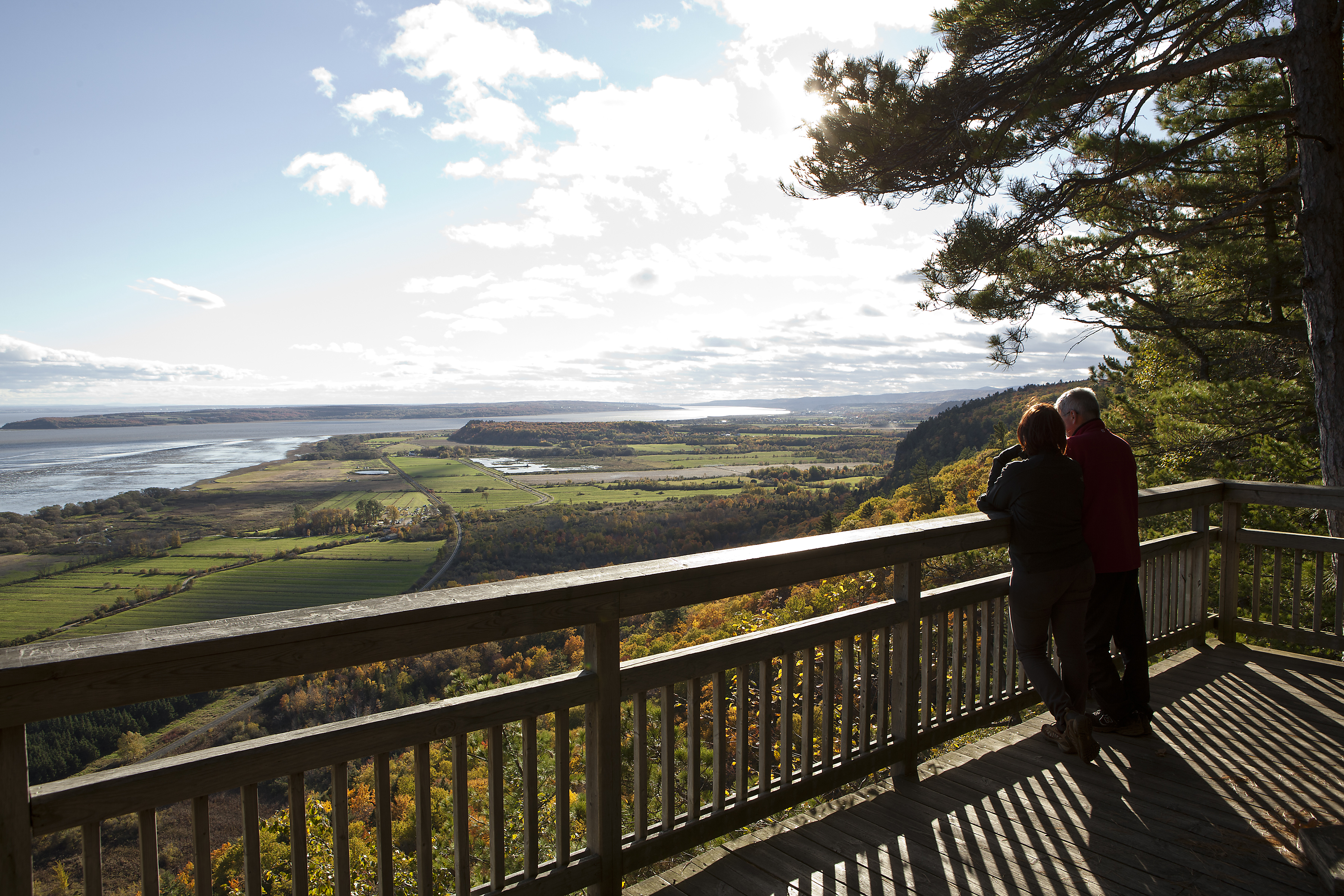
New tools for SLAP
Two atlases have been produced to give local communities the tools they need to conserve natural areas in the St. Lawrence.

Two atlases have been produced to give local communities the tools they need to conserve natural areas in the St. Lawrence.
The latest version of the Overview of the State of the St. Lawrence 2019 is now published! Updated every five years by the Working Group on the State of the St. Lawrence Monitoring, the Overview provides a diagnosis of the state of the St. Lawrence River. To do so, partners analyze at regular intervals, some 20 environmental indicators related to water, sediment, biological resources, shorelines and uses of the St. Lawrence River. The results make it possible to assess the state of the ecosystem and to provide guidance for decision-making towards ensuring conservation and sustainability of the St. Lawrence.
Our scientists are assessing the effects of pesticides and changes in agricultural practices on fish and invertebrates.
How much do you know about the riches of the St. Lawrence River? Plunge into the world of recreational boating and commercial shipping with our guide, “Navigation on the St. Lawrence: Echo of the Past, Path to the Future.”
The accumulation of nutrients, what is called eutrophication, in the marine waters of the St. Lawrence Estuary is raising concerns for aquatic life.